Whitegrass Airport
| Whitegrass Airport Tanna Airport | |||||||||||
|---|---|---|---|---|---|---|---|---|---|---|---|
| IATA: TAH – ICAO: NVVW | |||||||||||
| Summary | |||||||||||
| Airport type | Public | ||||||||||
| Serves | Tanna, Taféa, Vanuatu | ||||||||||
| Location | Whitegrass / Lénakel | ||||||||||
| Elevation AMSL | 19 ft / 6 m | ||||||||||
| Coordinates | 19°27′18″S 169°13′26″E / 19.45500°S 169.22389°ECoordinates: 19°27′18″S 169°13′26″E / 19.45500°S 169.22389°E | ||||||||||
| Map | |||||||||||
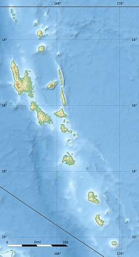
 TAH Location of airport in Vanuatu | |||||||||||
| Runways | |||||||||||
| |||||||||||
Whitegrass Airport[3] (IATA: TAH, ICAO: NVVW), also known as White Grass Airport or Tanna Airport, is an airport on the island Tanna, in the Taféa province in Vanuatu.[2]
It is located at Whitegrass (Vanuatu) (White Grass), 8 kilometres (5.0 mi) north of Lénakel township.[3]
Facilities
The airport resides at an elevation of 19 feet (6 m) above mean sea level. It has one runway designated 15/33 with an asphalt surface measuring 1,230 by 30 metres (4,035 ft × 98 ft).[1] The airport supports small to mid-sized turboprop aircraft only.
The airport has a small terminal building and handful of support structures at the airport.
Transportation
The airport is reached by car or van and has a small parking area behind the terminal. A paved road provides access to west side of the island and to the settlement of Lowanatom to the south.
Airlines and destinations
| Airlines | Destinations |
|---|---|
| Air Vanuatu | Anatom, Aniwa, Dillon's Bay, Futuna, Ipota, Port Vila |
| Unity Airlines | Port Vila |
References
- 1 2 Airport information for NVVW from DAFIF (effective October 2006)
- 1 2 Airport information for Tanna Island, Taféa, Vanuatu (NVVW / TAH) at Great Circle Mapper. Source: DAFIF (effective October 2006).
- 1 2 "Whitegrass Airport". Airports Vanuatu Limited. Retrieved 18 June 2010.