Lonorore Airport
| Lonorore Airport | |||||||||||
|---|---|---|---|---|---|---|---|---|---|---|---|
 | |||||||||||
| IATA: LNE – ICAO: NVSO | |||||||||||
| Summary | |||||||||||
| Airport type | Public | ||||||||||
| Serves | Lonorore, Pentecost Island, Vanuatu | ||||||||||
| Elevation AMSL | 43 ft / 13 m | ||||||||||
| Coordinates | 15°51′56″S 168°10′19″E / 15.86556°S 168.17194°ECoordinates: 15°51′56″S 168°10′19″E / 15.86556°S 168.17194°E | ||||||||||
| Map | |||||||||||
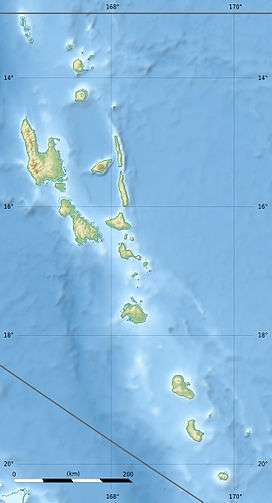
 LNE Location of airport in Vanuatu | |||||||||||
| Runways | |||||||||||
| |||||||||||
|
Source: [1] | |||||||||||
Lonorore Airport (IATA: LNE, ICAO: NVSO) or Lonoror (possibly from Ske lon or "in the fence") is an airport on south-western Pentecost Island, Vanuatu.
Overview
Lonorore began as a grass airstrip, capable of accommodating 20-seater Twin Otter aircraft in good conditions, although it was frequently unusable due to waterlogging in wet weather. The airport is built in the middle of an old coconut plantation. The airport was upgraded in 2008-2009 with a longer, tarmacked runway capable of operating in most weather conditions and being used by larger ATR aircraft, though in practice the airport is still serviced mainly by Twin Otters.
Lonorore is used for Air Vanuatu domestic flights to Port Vila and Santo, sometimes via Ambae. Schedules change regularly but there are typically flights on two or three days of the week. Between April and June the airport caters for significant numbers of day trippers from Port Vila who come to watch the weekly land-diving ceremonies which take place nearby.
Near the airport is a small post office which handles all of southern Pentecost's mail. On flight days, women often set up markets near the airport, selling homegrown vegetables and homecooked food.
Airlines and destinations
| Airlines | Destinations |
|---|---|
| Air Vanuatu | Port Vila, Santo, Longana |
Gallery
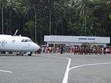
 Custom dancing at the opening ceremony of the upgraded Lonorore Airport, July 2009
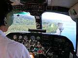
 Plane approaching the old Lonorore airstrip, prior to upgrading, 2006
References
- ↑ Airport information for Lonoror, Pentecost, Vanuatu (NVSO / LNE) at Great Circle Mapper.
External links
![]() Media related to Lonorore Airport at Wikimedia Commons
Media related to Lonorore Airport at Wikimedia Commons