Tsanteleina
| Tsanteleina | |
|---|---|
 Tsanteleina | |
| Highest point | |
| Elevation | 3,601 m (11,814 ft) |
| Coordinates | 45°28′51″N 7°02′42″E / 45.48083°N 7.04500°ECoordinates: 45°28′51″N 7°02′42″E / 45.48083°N 7.04500°E |
| Geography | |
 Tsanteleina Location in the Alps | |
| Location | Aosta Valley, Italy and Rhône-Alpes, France |
| Parent range | Graian Alps |
| Climbing | |
| First ascent | 1865 |
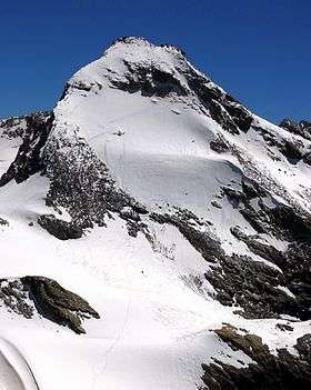
Tsanteleina (3,601m) is a mountain of the Graian Alps located on the border between Savoie, France and Aosta Valley, Italy. It lies at the head of the Val di Rhèmes, although the summit itself is hidden from view in the valley. The eastern side of the mountain lies within the Gran Paradiso National Park. The normal route to the summit is from the north as the paths on the other side of the mountain have been neglected due to the poor quality of the rock. The north face is also popular with ski mountaineers.[1]
References
- ↑ "Tsanteleina - summitpost.org". summitpost.org. Retrieved 7 February 2015.
This article is issued from Wikipedia - version of the 12/7/2015. The text is available under the Creative Commons Attribution/Share Alike but additional terms may apply for the media files.