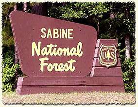
Sabine National Forest
| Sabine National Forest | |
|---|---|
|
IUCN category VI (protected area with sustainable use of natural resources) | |
 | |
 | |
| Location | Texas, USA |
| Nearest city | Hemphill, TX |
| Coordinates | 31°20′27″N 93°50′32″W / 31.34083°N 93.84222°WCoordinates: 31°20′27″N 93°50′32″W / 31.34083°N 93.84222°W |
| Area | 160,873 acres (651.03 km2)[1] |
| Established | October 13, 1936[2] |
| Governing body | U.S. Forest Service |
| Website | Sabine National Forest |
Sabine National Forest is located in East Texas near the Texas-Louisiana border. The forest is administered together with the other three United States National Forests and two National Grasslands located entirely in Texas, from common offices in Lufkin, Texas. There are local ranger district offices located in Hemphill.
The forest covers a total of 160,873 acres (651.03 km2) in five counties - Sabine (95,410 acres), Shelby (59,037 acres), San Augustine (4,317 acres), Newton (1,781 acres), and Jasper (64 acres). It includes the officially designated Indian Mounds Wilderness, which is a part of the National Wilderness Preservation System.
The Sabine National Forest is notable for extensive forests of American beech and other hardwood trees. Other important tree species include loblolly pine, longleaf pine, shortleaf pine, white oak, southern red oak, sweetgum, and Florida maple.
See also
References
- ↑ "Land Areas of the National Forest System" (PDF). U.S. Forest Service. January 2012. Retrieved June 30, 2012.
- ↑ "The National Forests of the United States" (PDF). ForestHistory.org. Retrieved July 30, 2012.
External links
- National Forests and Grasslands in Texas - U.S. Forest Service
- Sabine National Forest from the Handbook of Texas Online
-
 Media related to Sabine National Forest at Wikimedia Commons