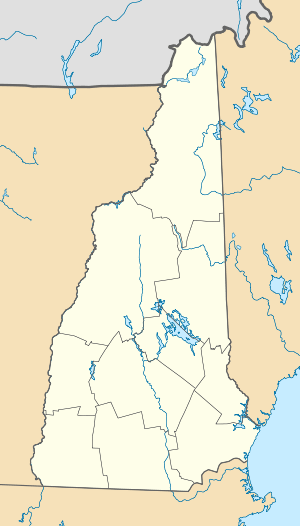
Mountain Lakes, New Hampshire
| Mountain Lakes, New Hampshire | |
|---|---|
| Census-designated place | |
 Mountain Lakes  Mountain Lakes | |
| Coordinates: 44°7′17″N 71°57′19″W / 44.12139°N 71.95528°WCoordinates: 44°7′17″N 71°57′19″W / 44.12139°N 71.95528°W | |
| Country | United States |
| State | New Hampshire |
| County | Grafton |
| Towns | Haverhill, Bath |
| Area | |
| • Total | 3.6 sq mi (9.4 km2) |
| • Land | 3.5 sq mi (9.1 km2) |
| • Water | 0.1 sq mi (0.3 km2) |
| Elevation | 800 ft (200 m) |
| Population (2010) | |
| • Total | 488 |
| • Density | 130/sq mi (52/km2) |
| Time zone | Eastern (EST) (UTC-5) |
| • Summer (DST) | EDT (UTC-4) |
| Area code(s) | 603 |
| FIPS code | 33-49600 |
| GNIS feature ID | 2025415 |
Mountain Lakes is a census-designated place in the towns of Haverhill and Bath in Grafton County, New Hampshire. It had a population of 488 at the 2010 census.[1]
The bulk of Mountain Lakes is in the town of Haverhill, surrounding two namesake lakes. The community extends to the north into the neighboring town of Bath, as far as the Wild Ammonoosuc River and the Swiftwater Covered Bridge. New Hampshire Route 112 travels across the northern part of Mountain Lakes, connecting Woodsville to the west with Kinsman Notch and North Woodstock to the east.
References
- ↑ United States Census Bureau, American FactFinder, 2010 Census figures. Retrieved March 23, 2011.
External links
This article is issued from Wikipedia - version of the 7/10/2016. The text is available under the Creative Commons Attribution/Share Alike but additional terms may apply for the media files.
