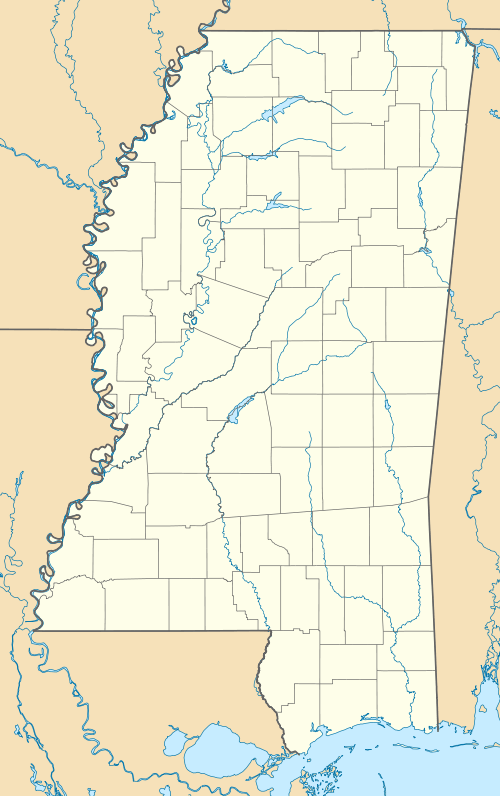
LeFlore, Mississippi
| LeFlore, Mississippi | |
|---|---|
| Unincorporated community | |
 | |
 LeFlore, Mississippi  LeFlore, Mississippi | |
| Coordinates: 33°41′37″N 90°03′17″W / 33.69361°N 90.05472°WCoordinates: 33°41′37″N 90°03′17″W / 33.69361°N 90.05472°W | |
| Country | United States |
| State | Mississippi |
| County | Grenada |
| Elevation | 154 ft (47 m) |
| Time zone | Central (CST) (UTC-6) |
| • Summer (DST) | CDT (UTC-5) |
| ZIP code | 38940 |
| Area code(s) | 662 |
| GNIS feature ID | 672393[1] |
LeFlore is an unincorporated community located in Grenada County, Mississippi, United States and part of the Grenada Micropolitan Statistical Area . LeFlore is approximately 10 miles (16 km) south of Holcomb, Mississippi and approximately 3 miles (4.8 km) north of Avalon, Mississippi on Mississippi Highway 7.
 Leflore Baptist Church
References
This article is issued from Wikipedia - version of the 8/3/2016. The text is available under the Creative Commons Attribution/Share Alike but additional terms may apply for the media files.
