Decaturville, Missouri
| Decaturville, Missouri | |
|---|---|
| Unincorporated community | |
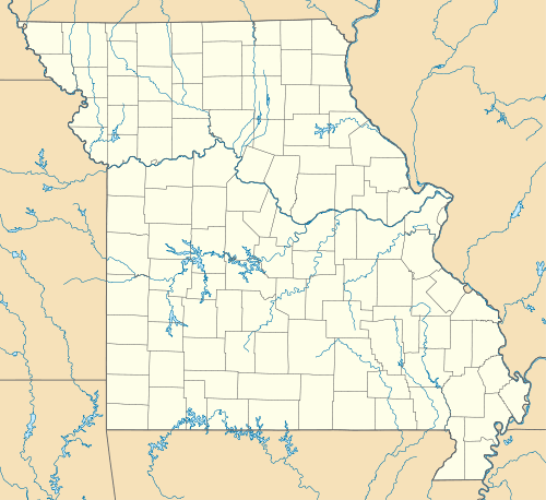
 Decaturville Decaturville's position in Missouri | |
| Coordinates: 37°54′27.1″N 92°41′59.7″W / 37.907528°N 92.699917°WCoordinates: 37°54′27.1″N 92°41′59.7″W / 37.907528°N 92.699917°W | |
| Country |
|
| State |
|
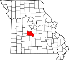
| County | Camden |
| Township | Warren |
| Founded | 1838 |
| Elevation[1] | 323 m (1,060 ft) |
| Time zone | Central (CST) (UTC-6) |
| • Summer (DST) | CDT (UTC-5) |
| Area code(s) | 479 |
| GNIS feature ID | 716778 |
| U.S. Geological Survey Geographic Names Information System: Decaturville, Missouri | |
Decaturville, Missouri is an unincorporated community in Warren Township, Camden County. It is located on Route 5 9 miles (14 km) of Camdenton.[2] The community was founded in 1854 and is named for Commodore Stephen Decatur Jr., (1779 – 1820), an American naval officer notable for his heroism in actions at Tripoli, Libya in the First Barbary War and the Second Barbary War and in the War of 1812.[3]
See also
References
- ↑ "Decaturville, Missouri." Histopolis Retrieved July 14, 2011.
- ↑ "Feature Detail Report for:Decaturville, Arkansas." USGS. U.S. Geological Survey Geographic Names Information System: Decaturville, Missouri Retrieved July 14, 2011.
- ↑ Earngey, Bill (1995). Missouri Roadsides: The Traveler's Companion. University of Missouri Press. p. 34.
This article is issued from Wikipedia - version of the 11/2/2016. The text is available under the Creative Commons Attribution/Share Alike but additional terms may apply for the media files.
