Belvoir, North Carolina
| Belvoir, North Carolina | |
|---|---|
| Census-designated place | |
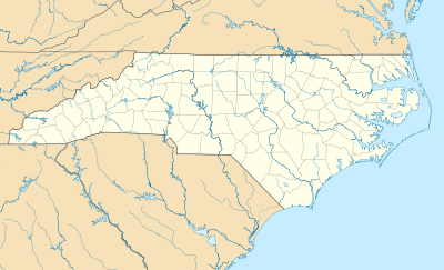
 Belvoir, North Carolina Location within the state of North Carolina | |
| Coordinates: 35°42′29″N 77°27′53″W / 35.70806°N 77.46472°WCoordinates: 35°42′29″N 77°27′53″W / 35.70806°N 77.46472°W | |
| Country | United States |
| State | North Carolina |
| County | Pitt |
| Area | |
| • Total | 2.0 sq mi (5.1 km2) |
| • Land | 2.0 sq mi (5.1 km2) |
| • Water | 0.0 sq mi (0.0 km2) |
| Population (2010) | |
| • Total | 307 |
| • Density | 160/sq mi (60/km2) |
| Time zone | Eastern (EST) (UTC-5) |
| • Summer (DST) | EDT (UTC-4) |
| FIPS code | 37-04955 |
| GNIS feature ID | 1024465 |
Belvoir is a census-designated place within Belvoir Township, Pitt County, North Carolina, United States. As of the 2010 census it had a population of 307.[1]
It is located 9 miles (14 km) northwest of Greenville along North Carolina Highway 222.
References
- ↑ "Profile of General Population and Housing Characteristics: 2010 Demographic Profile Data (DP-1): Belvoir CDP, North Carolina". U.S. Census Bureau, American Factfinder. Archived from the original on September 11, 2013. Retrieved November 6, 2012.
This article is issued from Wikipedia - version of the 10/30/2016. The text is available under the Creative Commons Attribution/Share Alike but additional terms may apply for the media files.