Scuppernong River Bridge
|
Scuppernong River Bridge | |
|
Scuppernong River Bridge, March 2015 | |
  | |
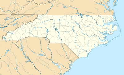
| Location | US 64 Bus. across the Scuppernong R., Columbia, North Carolina |
|---|---|
| Coordinates | 35°55′2″N 76°15′19″W / 35.91722°N 76.25528°WCoordinates: 35°55′2″N 76°15′19″W / 35.91722°N 76.25528°W |
| Area | less than one acre |
| Built | 1926 |
| Built by | NC State Highway Commission |
| Architectural style | Warren ponytruss swing span |
| NRHP Reference # | 92000078[1] |
| Added to NRHP | March 5, 1992 |
Scuppernong River Bridge, also known as the Main Street Bridge, Tyrrell County No. 4 Bridge, and Columbia Bridge, is a historic bridge located at Columbia, Tyrrell County, North Carolina. It was built in 1926, and is a 566-foot-long, two-lane bridge. It consists of a steel Warren-type pony truss swing span measuring 123 feet long, and 22 concrete pile-supported timber approach spans. It is the only manually-operated pony truss swing-span bridge remaining in North Carolina.[2]
It was listed on the National Register of Historic Places in 1992.[1]
References
- 1 2 National Park Service (2010-07-09). "National Register Information System". National Register of Historic Places. National Park Service.
- ↑ Ray McClees-Chairman and Laura Wolke (December 1991). "Scuppernong River Bridge" (pdf). National Register of Historic Places - Nomination and Inventory. North Carolina State Historic Preservation Office. Retrieved 2014-08-01.
This article is issued from Wikipedia - version of the 12/1/2016. The text is available under the Creative Commons Attribution/Share Alike but additional terms may apply for the media files.


