Ras Kebdana
| Ras Kebdana | |
|---|---|
|
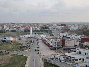
View of Ras Kebdana with the mosque in the foreground | |
 Ras Kebdana Location in Morocco | |
| Coordinates: 35°08′N 2°25′W / 35.133°N 2.417°W | |
| Country |
|
| Region | Oriental |
| Population (2004) | |
| • Total | 4,532 |
| Time zone | WET (UTC+0) |
| • Summer (DST) | WEST (UTC+1) |
Ras Kebdana, Ras El Ma or Cabo de Agua, is a town in Nador Province, Oriental, Morocco. It is a seaport, is located in the province of Nador, and it is part of the Rif area in northern Morocco. According to the 2004 census it has a population of 4,532.[1]
The town was part of the Kingdom of Nekor around the 8th century AD.

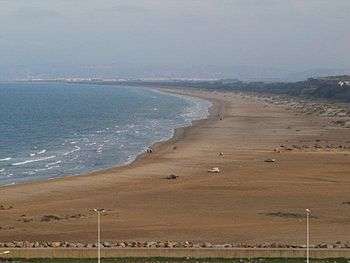
Panorama of Ras Kebdana beach
References
- ↑ "World Gazetteer". Archived from the original on 2012-12-05.
External links
- Nador Rif News; www.ariffino.net
| Wikimedia Commons has media related to Ras Kebdana. |
- nadorcity.ma: رؤية إعلامية جديدة بالناظور
- A picture of Kebdana Mountains
- A picture of Ras Kebdana seaport
Coordinates: 35°08′N 2°25′W / 35.133°N 2.417°W
This article is issued from Wikipedia - version of the 8/16/2016. The text is available under the Creative Commons Attribution/Share Alike but additional terms may apply for the media files.

