Opala Territory
| Opala | |
|---|---|
 Opala | |
| Coordinates: 0°36′05″S 24°21′18″E / 0.601319°S 24.354887°ECoordinates: 0°36′05″S 24°21′18″E / 0.601319°S 24.354887°E | |
| Country | Democratic Republic of Congo |
| Province | Tshopo |
| National language | Swahili |
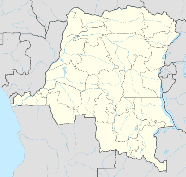
Opala is a territory in the Tshopo Province of the Democratic Republic of the Congo.
The administrative center is the town of Opala. Other communities are Yatolema, Lokilo and Mayoko.[1] The territory is divided into Sectors and Chiefdoms:[2]
- Balinga-Lindja Sector
- Yawende-Loolo Sector
- Yeyango Chiefdom
- Yomale Chiefdom
- Yalingo Chiefdom
- Iye Sector
- Yapandu Chiefdom
- Mongo Chiefdom
- Kembe Chiefdom
- Opala Sector
References
- ↑ "Carte des Districts et Territoires de l'ORIENTALE" (PDF). Reliefweb. October 2002. Retrieved 2011-10-08.
- ↑ X. Blaes (October 2008). "Découpage administratif de la République Démocratique du Congo" (PDF). PNUD-SIG. Retrieved 2011-11-02.
This article is issued from Wikipedia - version of the 9/6/2016. The text is available under the Creative Commons Attribution/Share Alike but additional terms may apply for the media files.