Nirmaljhar
| Nirmaljhar | |
|---|---|
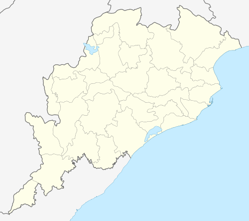 | |
| Location | Ganjam district, Odisha |
| Coordinates | 19°36′00″N 85°03′58″E / 19.6°N 85.066°ECoordinates: 19°36′00″N 85°03′58″E / 19.6°N 85.066°E |
| Elevation | 13 metres (43 ft) |
The Nirmaljhar is a perennial stream in the Ganjam District in the Indian state of Odisha. It is located beside the temple of Lord Vishnu.[1][2] The Nirmaljhar flows from the Badaghati Mountains in Eastern Ghats. Khallikote princess Smt. Sugyani Devi has currently formed a committee to promote Nirmaljhar as a tourist site.[3]
Geography
Nirmaljhar is located at 19°36′00″N 85°03′58″E / 19.60°N 85.066°E.[4] It has an average altitude of 13 m (43 ft). No government accommodations are available on the site, however a Panthanivas is near Rambha about 10 km away.
Etymology
According to folklore, the name “Nirmaljhar” is derived from two Hindi/ Sanskrit words: “nirmal” means 'pure' and “jhar" represents 'stream.'[5]
Transportation
Nirmaljhar has both road and rail links. On the Northern side, it is 60 km from Berhampur and on the Southern side it is about 120 km from the state Capital Bhubaneswar. Khallikote station is the nearest railway station and is 9 km away from Niramaljhar.
References
- ↑ Odisha, Government of. "NIRMALJHAR". www.ordistricts.nic.in. Govt. of Odisha. Retrieved 10 June 2015.
- ↑ Padhy, Krishna Chandra. "Nirmaljhar of Khallikote Ganjam". Retrieved 10 June 2015.
- ↑ Prasad Padhy, Bimala (29 October 2007). "Nirmaljhar". Samaj Weekend Article. Retrieved 10 June 2015.
- ↑ "Nirmaljhar". Retrieved 10 June 2015.
- ↑ "Places around Chilika Lagoon". http://www.shreekhetra.com. Retrieved 10 June 2015. External link in
|website=(help)