Myoraksan

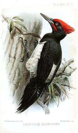
The forests at Myŏraksan are one of the last retreats for the Tristram's Woodpecker, a national treasure in North Korea.
| Myoraksan | |
| Chosŏn'gŭl | 멸악산 |
|---|---|
| Hancha | 滅惡山 |
| Revised Romanization | Myeoraksan |
| McCune–Reischauer | Myŏraksan |
| Myoraksan | |
|---|---|
| Highest point | |
| Elevation | 818 m (2,684 ft) |
| Coordinates | 38°17′45″N 126°12′10″E / 38.29583°N 126.20278°E |
| Geography | |
| Location | North Korea |
Myŏraksan, in English Mt. Myorak, is a mountain on the border of Rinsan and P'yŏngsan counties of North Hwanghae Province in North Korea. It has an elevation of 818 m. A plant reserve of 3440 ha was established in that area in 1959. It is one of the few suitable habitats for the Tristram's Woodpecker in the world.
External links
- Biodiversity Strategy and Action Plan DPRK
- (Korean) Encyclopedias: Britannica, Doosan
This article is issued from Wikipedia - version of the 5/12/2014. The text is available under the Creative Commons Attribution/Share Alike but additional terms may apply for the media files.