Mirbat
| Mirbat | |
|---|---|
| Town | |
|
One of Mirbat's several dilapidated Yemeni-style mud-brick structures | |
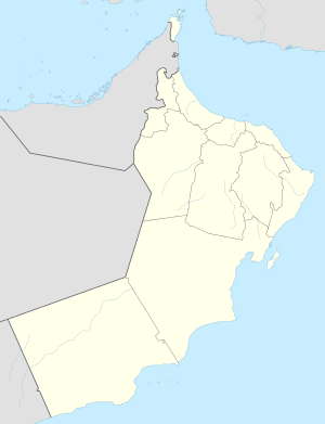
 Mirbat Location in Oman | |
| Coordinates: 16°59′19″N 54°41′32″E / 16.98861°N 54.69222°ECoordinates: 16°59′19″N 54°41′32″E / 16.98861°N 54.69222°E | |
| Country |
|
| Governorate | Dhofar Governorate |
| Time zone | +4 (UTC+4) |
Mirbat (Arabic: مرباط) is a coastal town in the Dhofar governorate, in southwestern Oman. It is located at about 16°59′19″N 54°41′32″E / 16.98861°N 54.69222°E. It was the site of the 1972 Battle of Mirbat between Communist guerrillas on one side and the Armed forces of the Sultan of Oman and their Special Air Service advisers.
Mirbat (Moscha) was involved in the export of frankincense in ancient times, to places as far as China.[1]
References
- ↑ Ralph Kauz (2010). Ralph Kauz, ed. Aspects of the Maritime Silk Road: From the Persian Gulf to the East China Sea. Volume 10 of East Asian Economic and Socio-cultural Studies – East Asian Maritime History. Otto Harrassowitz Verlag. p. 130. ISBN 3-447-06103-0. Retrieved December 26, 2011.
See also
| Wikivoyage has a travel guide for Mirbat. |
This article is issued from Wikipedia - version of the 11/5/2016. The text is available under the Creative Commons Attribution/Share Alike but additional terms may apply for the media files.
