Middle Road Covered Bridge
| Middle Road Bridge | |
|---|---|
_Covered_Bridge_1.jpg) | |
| Coordinates | 41°54′07″N 80°32′49″W / 41.90194°N 80.54694°WCoordinates: 41°54′07″N 80°32′49″W / 41.90194°N 80.54694°W |
| Locale | Ashtabula County, Ohio, United States |
| Characteristics | |
| Design | single span, Howe truss |
| Total length | 136 feet (41.5 m) |
| History | |
| Construction begin | 1868 |
 | |
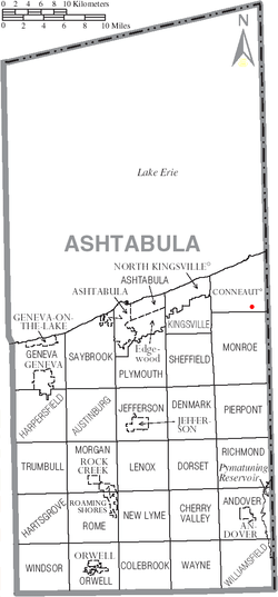 | |
Middle Road Bridge is a covered bridge spanning Conneaut Creek in Conneaut, Ashtabula County, Ohio, United States. The bridge, one of currently 16 drivable bridges in the county, is a single span Howe truss design.[1] Built in 1868, it was reconstructed in 1984 with the help of three volunteers and four college students.[1] The bridge’s WGCB number is 35-04-06,[2] and it is located approximately 3.2 mi (5.1 km) south of downtown Conneaut. It is 136 feet (41.5 m) long.
Bridge runs from the Northwest to the Southeast. (see Google Map view - ref. #3)
Gallery
_Covered_Bridge_2.jpg) View of bridge - Southeast side
View of bridge - Southeast side_Covered_Bridge_3.jpg) View of Northwest approach
View of Northwest approach
See also
References
- 1 2 http://www.coveredbridgefestival.org/bridges.htm Ashtabula County Ohio Covered Bridge Festival
- ↑ http://www.dalejtravis.com/bridge/ohio/htm/3500406.htm Ohio Covered Bridges List, 35-04-06
- ↑ https://www.google.com/maps/@41.9023346,-80.5466191,183m/data=!3m1!1e3
External links
- Ohio Covered Bridges List
- Ohio Covered Bridge Homepage
- The Covered Bridge Numbering System
- Ohio Historic Bridge Association
- Middle Road Covered Bridge from Ohio Covered Bridges, Historic Bridges
- "Middle Road Bridge". Geographic Names Information System. United States Geological Survey. Retrieved 2012-12-30.
This article is issued from Wikipedia - version of the 9/9/2016. The text is available under the Creative Commons Attribution/Share Alike but additional terms may apply for the media files.