Lough Bofin (River Shannon)
| Lough Bofin Loch Bó Finne | |
|---|---|
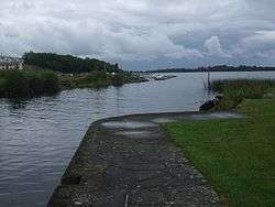
 Harbour in Dromod, opening onto Lough Bofin | |
 Lough Bofin | |
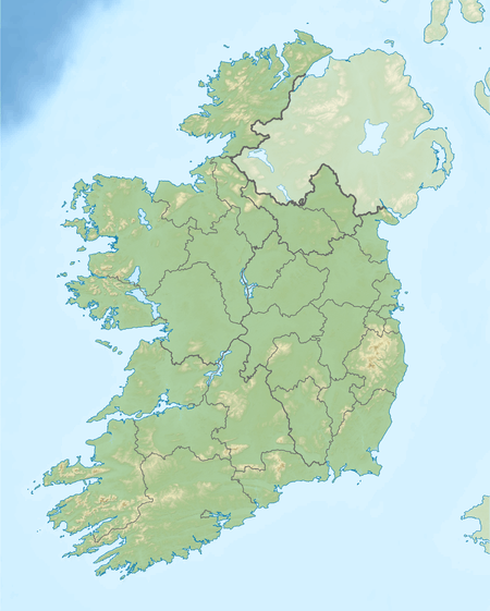
| Location | Ireland |
| Coordinates | 53°50′55″N 7°56′29″W / 53.848566°N 7.941400°WCoordinates: 53°50′55″N 7°56′29″W / 53.848566°N 7.941400°W |
| Primary inflows | Lough Boderg (River Shannon), Lough Scannal, Feorish River |
| Primary outflows | River Shannon |
| Basin countries | Ireland |
| Surface area | 2.6 km2 (1.0 sq mi) |
| Surface elevation | 42 m (138 ft) |
| Islands | Pigeon Island, Inchmurrin (Rabbit Island), Sallow Island, Otter Island |
| Settlements | Roosky, Dromod |
Lough Bofin (Irish: Loch Bó Finne) is a lake on the River Shannon on the County Roscommon–County Leitrim border.
History and legend
The lake's name is Irish for "Lake of the white cow." Lough Bofin is separated from Lough Boderg ("Lake of the red cow") by the Derrycarne Narrows.[1]
Recreation
Lough Bofin is a noted fishery for bream, rudd, roach, northern pike, eel and perch.[2]
See also
References
This article is issued from Wikipedia - version of the 1/3/2016. The text is available under the Creative Commons Attribution/Share Alike but additional terms may apply for the media files.