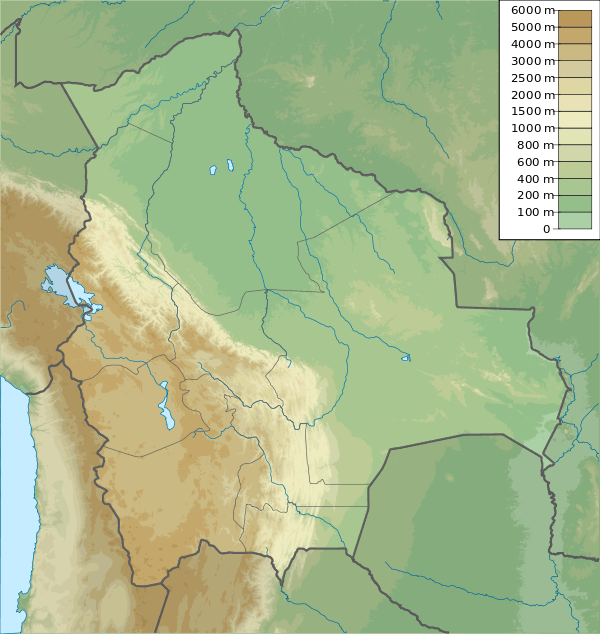
Kunturillu (Bolivia)
This article is about the mountain in Bolivia. For other uses, see Kunturillu.
| Kunturillu | |
|---|---|
 Kunturillu | |
| Highest point | |
| Elevation | 4,460 m (14,630 ft) [1] |
| Coordinates | 20°57′23″S 66°00′35″W / 20.95639°S 66.00972°WCoordinates: 20°57′23″S 66°00′35″W / 20.95639°S 66.00972°W |
| Geography | |
| Location |
Bolivia Potosí Department |
| Parent range | Andes |
Kunturillu (Quechua for "black and white",[2] also spelled Condorillo) is a mountain in the Andes of Bolivia which reaches a height of approximately 4,460 m (14,630 ft). It is located in the Potosí Department, Sud Chichas Province, Atocha Municipality. Kunturillu lies east of the village of T'ula Mayu ("wood river", Thola Mayu). The T'uru Mayu ("mud river", Toromayu) originates east of the mountain. It flows to the south.[1][3]
References
This article is issued from Wikipedia - version of the 3/3/2016. The text is available under the Creative Commons Attribution/Share Alike but additional terms may apply for the media files.
