Kilcorney
| Kilcorney Cill Cóirne | |
|---|---|
| Village | |
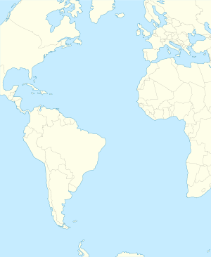
 Kilcorney Location in Ireland | |
| Coordinates: 52°03′45″N 08°57′43″W / 52.06250°N 8.96194°WCoordinates: 52°03′45″N 08°57′43″W / 52.06250°N 8.96194°W | |
| Country | Ireland |
| Province | Munster |
| County | County Cork |
| Time zone | WET (UTC+0) |
| • Summer (DST) | IST (WEST) (UTC-1) |
Kilcorney or Kilcorny[1] (Irish: Cill Cóirne)[2] is a small village and Civil Parish in the Barony of Muskerry West in northwest County Cork, Ireland. It is situated some 38 km northwest of Cork, 17 km north of Macroom, and 7 km east of Millstreet. In 2006, the population of the Kilcorney Electoral Division was 305.
Geography
Townlands of Kilcorney are Crinaloo (North and South), North Horsemount, South Horsemount, Knockanroe, Laharn, Drombeg, Stonefield, Killeen, Glenleigh, Blackrock, Knockgorm, Lissacapia, Ivale, Mushera, Finnanefield, Baunreagh, Brookpark, Donoure.
The Kerrymans table is a large flat rock where people rested and goods were collected situated on the Old Butter Road on the slopes of Mushera mountain which was constructed in 1747. It is 3 miles from Kilcorney on the road to Rylane exactly midway between Killarney and Cork City, 25 miles on either side.
Mushera mountain overlooks Kilcorney standing at 2,118 feet high, the highest mountain in the Boggeragh range.
Culture
School in Kilcorney was built in 1864.
The Kilcorney Féis, a festival of traditional Irish arts and culture, is held in Kilcorney Community Centre each year.
See also
References
- ↑ http://www.independent.ie/entertainment/books/old-friendships-new-beginnings-1748806.html
- ↑ Placenames Database of Ireland. Cill Coirne Verified 2011-05-15.
