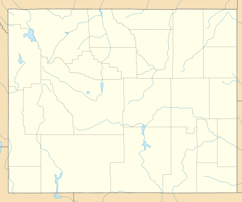
Dome Mountain (Hot Springs County, Wyoming)
| Dome Mountain | |
|---|---|
 Dome Mountain | |
| Highest point | |
| Elevation | 12,455 ft (3,796 m) [1] |
| Prominence | 610 ft (190 m) [1] |
| Coordinates | 43°45′29″N 109°12′32″W / 43.75806°N 109.20889°WCoordinates: 43°45′29″N 109°12′32″W / 43.75806°N 109.20889°W [2] |
| Geography | |
| Location | Hot Springs County, Wyoming, U.S. |
| Parent range | Washakie Range |
| Topo map | USGS Twin Peaks |
| Climbing | |
| Easiest route | Scramble |
Dome Mountain (12,455 feet (3,796 m)) is the highest peak in the Washakie Range in the U.S. state of Wyoming.[3] Dome Mountain is in the Washakie Wilderness of Shoshone National Forest. The Washakie Range is one of the southern groups of mountains within the Absaroka Range, the other being the Owl Creek Mountains. Dome Mountain is the second tallest peak in the Washakie Range and is only .8 mi (1.3 km) north of Washakie Needles, which is the tallest.[4]
References
- 1 2 "Dome Mountain, Wyoming". Peakbagger.com. Retrieved October 5, 2014.
- ↑ "Dome Mountain". Geographic Names Information System. United States Geological Survey. Retrieved October 5, 2014.
- ↑ Twin Peaks, WY (Map). TopoQwest (United States Geological Survey Maps). Retrieved October 5, 2014.
- ↑ "Washakie Range". Peakbagger.com. Retrieved October 5, 2014.
This article is issued from Wikipedia - version of the 1/1/2016. The text is available under the Creative Commons Attribution/Share Alike but additional terms may apply for the media files.