Crocus Hill
| Crocus Hill | |
|---|---|
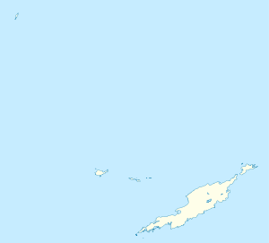
 Crocus Hill Location in Anguilla | |
| Highest point | |
| Elevation | 65 m (213 ft) |
| Prominence | 65 m (213 ft) |
| Coordinates | 18°12′43″N 63°04′14″W / 18.21194°N 63.07056°WCoordinates: 18°12′43″N 63°04′14″W / 18.21194°N 63.07056°W |
| Geography | |
| Location | Near The Valley, Anguilla |
Crocus Hill is the highest point of Anguilla, a British overseas territory in the Caribbean, with an elevation of 65 metres (213 ft). The hill is located nearby the capital town of The Valley.
See also
External links
- (English) Crocus Hill Map — Satellite Images of Crocus Hill, Maplandia.com.
This article is issued from Wikipedia - version of the 12/6/2015. The text is available under the Creative Commons Attribution/Share Alike but additional terms may apply for the media files.