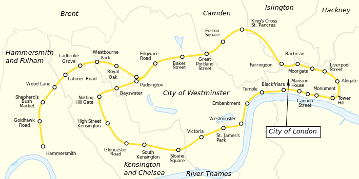
Circle route

A circle route or circumferential route, in a public transport network or system, is a route following a path approximating a circle, or at least a closed curve. Such a route may be operated by various forms of public transport, including regional rail, commuter rail, rapid transit, trams (streetcars), trolleybuses, motor buses or ferries.
The expression "circle route" may refer in particular to:
- a route orbiting a central point, commonly the central business district (CBD), in a city or town;
- a route running in approximately a circular path from a point near the centre of a city or town out to a peripheral point and back again;
- a feeder route running from an interchange station around a neighbourhood or suburb in approximately a circle.
Typically, a circle route will connect at several locations with one or more cross-city routes or radial routes offering services in a straighter line into or out of a city or town centre. When a circle route orbits a CBD in a large arc, it will often provide transverse (or lateral) links between suburbs or satellites, either on its own or in combination with other routes. Such connections assist travelers by reducing travel times, avoiding congested CBD centers, and sometimes reducing the number of transfers. Similar benefits may also be achieved by half circle routes or peripheral cross-city routes.

References
- "Route Planning". Urban Bus Toolkit. World Bank Group / Public-Private Infrastructure Advisory Facility. Retrieved 27 October 2012. External link in
|publisher=, |work=(help)
External links
- metrobits.org: Metro Rings and Loops – includes a list of commuter rail and rapid transit circle routes worldwide