Cheloor

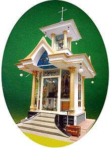
Chapel Americankettu

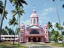
Cheloor Church

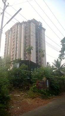
Cheloor Heights
| Cheloor | |
|---|---|
| village | |
| Coordinates: 10°33′0″N 76°19′0″E / 10.55000°N 76.31667°ECoordinates: 10°33′0″N 76°19′0″E / 10.55000°N 76.31667°E | |
| Country |
|
| State | Kerala |
| District | Thrissur |
| Languages | |
| • Official | Malayalam, English |
| Time zone | IST (UTC+5:30) |
| PIN | 680121 |
| Telephone code | 0480 |
| Vehicle registration | KL- |
| Nearest city | Thrissur |
| Lok Sabha constituency | Thrissur |
| Vidhan Sabha constituency | Irinjalakuda |
Cheloor is a place in Irinjalakuda municipality, Thrissur district in the Indian state of Kerala. It is around 1 km from the famous Koodalmanikyam Temple.
Location
Cheloor is bordered by Edakulam on the south, Edathirinji on the west, Kanteshwaram on the north and Irinjalakuda town on the east.
Irinjalakuda and Moonupeedika are the nearest towns.
Transportation
Irinjalakuda Municipal Bus Stand and Irinjalakuda KSRTC Bus Stand are the nearest bus stands. Irinjalakuda Railway Station at Kalletumkara is the nearest railway station.
Places of worship
- Cheloor Kavu
- St. Mary's Church
- Mariyaman Kovil
- Vettathu Ambalam
- Panokkil Ambalam
Thamarath SreeRama Temple
Bank branches
•South Indian bank
This article is issued from Wikipedia - version of the 7/20/2016. The text is available under the Creative Commons Attribution/Share Alike but additional terms may apply for the media files.