Blanchette Landing Access
| Blanchette Landing Access | |
|---|---|
|
IUCN category IV (habitat/species management area) | |
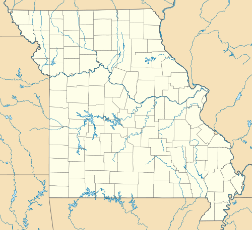 | |
| Location | St. Charles County, Missouri, United States |
| Nearest city | St. Charles, MO |
| Coordinates | 38°47′36″N 90°28′27″W / 38.793377°N 90.474112°WCoordinates: 38°47′36″N 90°28′27″W / 38.793377°N 90.474112°W |
| Area | 20 acres (0.1 km2) |
| Governing body | Missouri Department of Conservation |
| Official website | |
Blanchette Landing Access consists of 20 acres (0.081 km2) in St. Charles County, Missouri. It is located in the city of St. Charles, and provides access to the Missouri River.
The area consists of a boat launch, parking lot, pavilion, and restrooms. Fishing is permitted in the conservation area, and there are no designated trails.[1]
References
- ↑ "Blanchette Landing Access". Missouri Department of Conservation. Archived from the original on February 21, 2013. Retrieved July 23, 2012.
This article is issued from Wikipedia - version of the 11/18/2016. The text is available under the Creative Commons Attribution/Share Alike but additional terms may apply for the media files.