Al Jawf, Libya
For other uses, see Al Jawf.
| Al Jawf الجوف | |
|---|---|
| Town | |
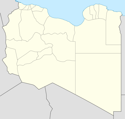
 Al Jawf Location in Libya | |
| Coordinates: 24°13′N 23°18′E / 24.217°N 23.300°ECoordinates: 24°13′N 23°18′E / 24.217°N 23.300°E | |
| Country |
|
| Region | Cyrenaica |
| District | Kufra |
| Elevation | 1,253 ft (382 m) |
| Population (1984) | |
| • Total | 17,320 |
| Time zone | EET (UTC+2) |
Al Jawf (Arabic: الجوف Al Ğawf) is a town in southeastern Libya, the capital of the Kufra district in Libya. Tripoli, the capital and largest city of Libya, lies northwest of Al Jawf.
The city has an elevation of 382.2 m (1,254 feet). In a 1984 census the city's population was 17,320. Al Jawf receives almost no rain whatsoever, averaging only .1 inch (2.5mm) per year. Summer high temperatures average above 100 °F (37.8 °C).
The city lies in the largest oasis in the Kufra basin.[1] It is one of the most heavily irrigated oases in the Sahara.
Climate
| Climate data for Al Jawf | |||||||||||||
|---|---|---|---|---|---|---|---|---|---|---|---|---|---|
| Month | Jan | Feb | Mar | Apr | May | Jun | Jul | Aug | Sep | Oct | Nov | Dec | Year |
| Average high °C (°F) | 21 (69) |
23 (74) |
28 (82) |
33 (91) |
36 (97) |
39 (102) |
38 (100) |
38 (101) |
36 (96) |
32 (90) |
27 (81) |
23 (73) |
31 (88) |
| Average low °C (°F) | 5 (41) |
7 (44) |
10 (50) |
15 (59) |
19 (67) |
22 (72) |
23 (73) |
23 (74) |
21 (69) |
17 (62) |
12 (53) |
7 (45) |
15 (59) |
| Average precipitation mm (inches) | 3 (0.1) |
0 (0) |
0 (0) |
0 (0) |
0 (0) |
0 (0) |
0 (0) |
0 (0) |
0 (0) |
0 (0) |
0 (0) |
0 (0) |
3 (0.1) |
| Source: Weatherbase [2] | |||||||||||||
Sources
- Bertarelli, L.V. (1929). Guida d'Italia, Vol. XVII (in Italian). Milano: Consociazione Turistica Italiana.
References
- ↑ Bertarelli (1929), p. 514.
- ↑ "Weatherbase: Weather For Al Jawf, Libya". Weatherbase. 2011. Retrieved on November 23, 2011.
This article is issued from Wikipedia - version of the 11/14/2016. The text is available under the Creative Commons Attribution/Share Alike but additional terms may apply for the media files.