Älpelekopf (Gerstruben)
For other places with the same name, see Älpelekopf.
| Älpelekopf | |
|---|---|
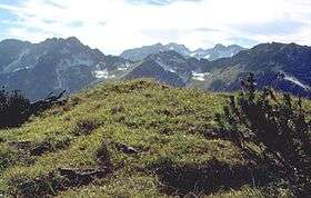 View of Himmelschrofen from Älpelekopf. From left to right, the peaks: Hinterer Wildgundkopf, Vorderer Wildgundkopf (the highest peak), Klupper (the lowest peak), Himmelschrofen (the rightmost peak) | |
| Highest point | |
| Elevation | 1,606 m (5,269 ft) |
| Coordinates | 47°22′34″N 10°18′50″E / 47.37611°N 10.31389°ECoordinates: 47°22′34″N 10°18′50″E / 47.37611°N 10.31389°E |
| Geography | |
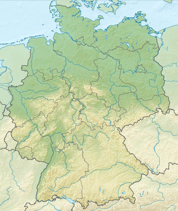 Älpelekopf Location in Germany | |
| Location | Bavaria, Germany |
| Parent range | Allgäu Alps |
Älpelekopf is a mountain with an elevation of 1,606 m (5,269 ft) in the Alps. Älpelekopf has a secondary peak situated on a ridge which runs southwest from Riffenkopf to Schrofen at which point the ridge falls off steeply.
The ridges connecting Riffenkopf, Hahnenkopf and Wannenkopf form a ring around the valley Gerstruber Älpeles. This valley has a deserted cabin and was formerly used as a pastoral area. There's a second cabin to the north, called Lugenalpe which is in current use.
There is no marked path up to the summit. It can be summited via Gerstruber Älpele, but the trail requires technical experience. Älpelekopf is not a typical tourist destination.
References
- Thaddäus Steiner: Allgäuer Bergnamen, Lindenberg, Kunstverlag Josef Fink, 2007, ISBN 978-3-89870-389-5
- Thaddäus Steiner: Die Flurnamen der Gemeinde Oberstdorf im Allgäu, München, Selbstverlag des Verbandes für Flurnamenforschung in Bayern, 1972
- Zettler/Groth: Alpenvereinsführer Allgäuer Alpen. Bergverlag Rudolf Rother, München 1984. ISBN 3-7633-1111-4
This article is issued from Wikipedia - version of the 12/4/2015. The text is available under the Creative Commons Attribution/Share Alike but additional terms may apply for the media files.